
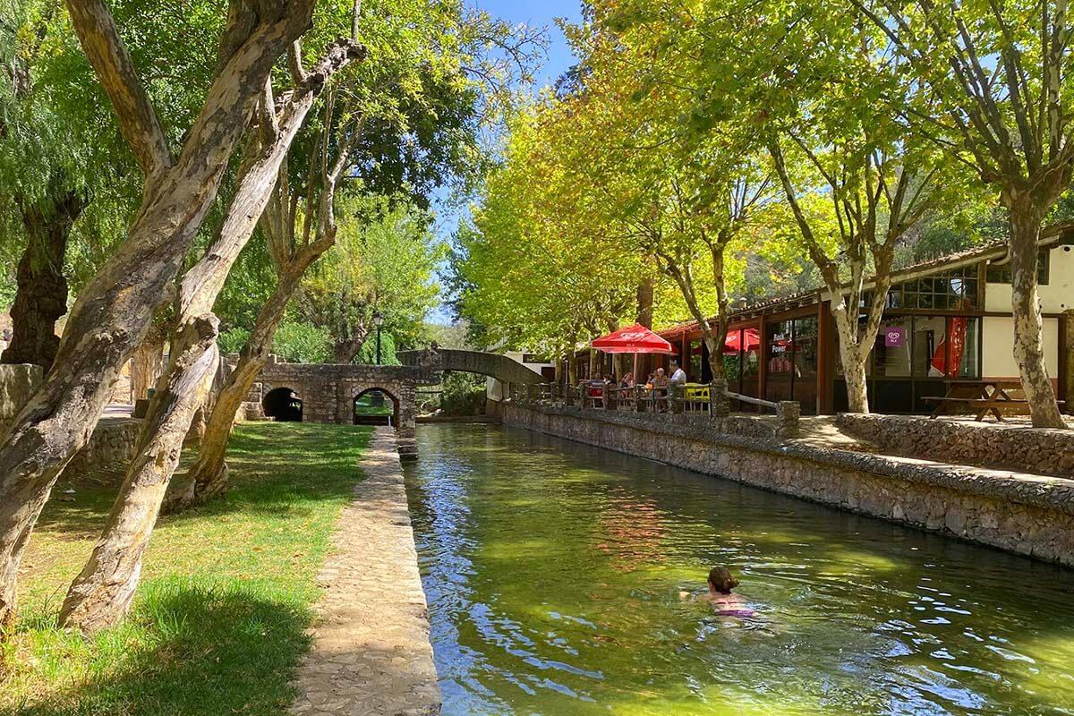
Alte
Local tips
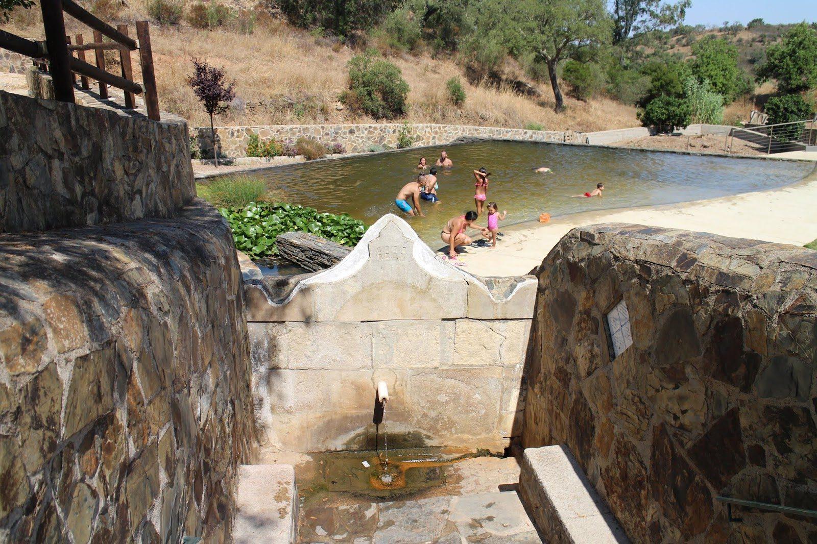
Try the almonds and dried figs in the village cafes, emblematic products of the Algarve interior. Visit in February to see the almond trees in bloom. Don't miss the Fonte Grande and Fonte Pequena.
Location
What's happening nearby
Upcoming events in the area

Where to eat nearby
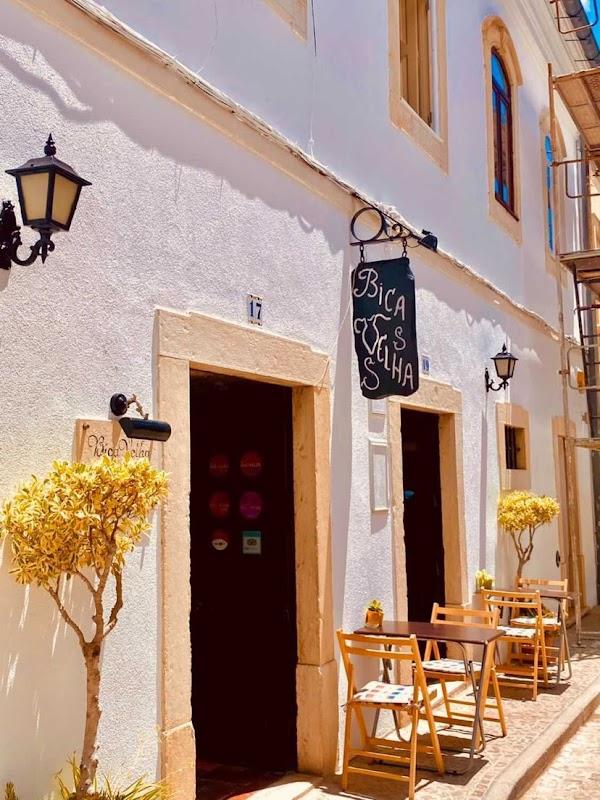
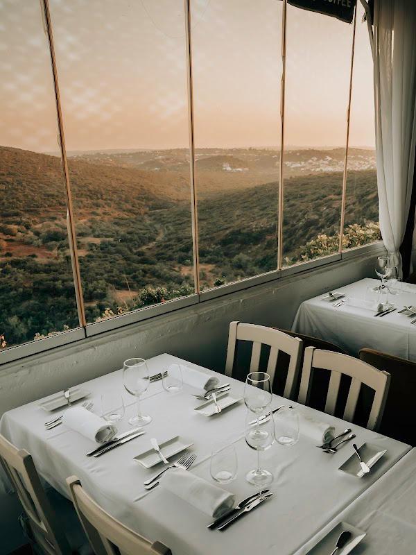
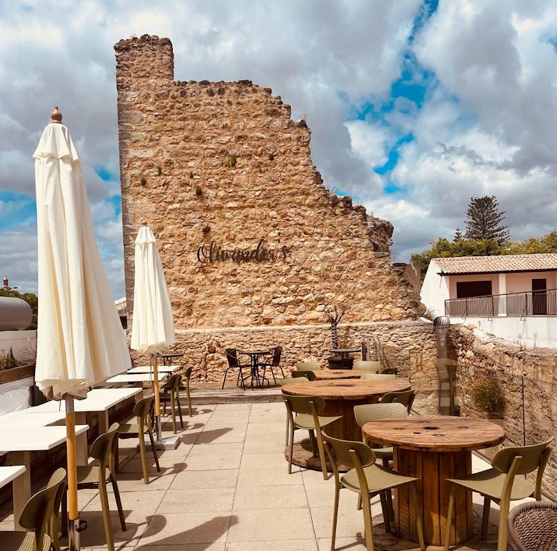
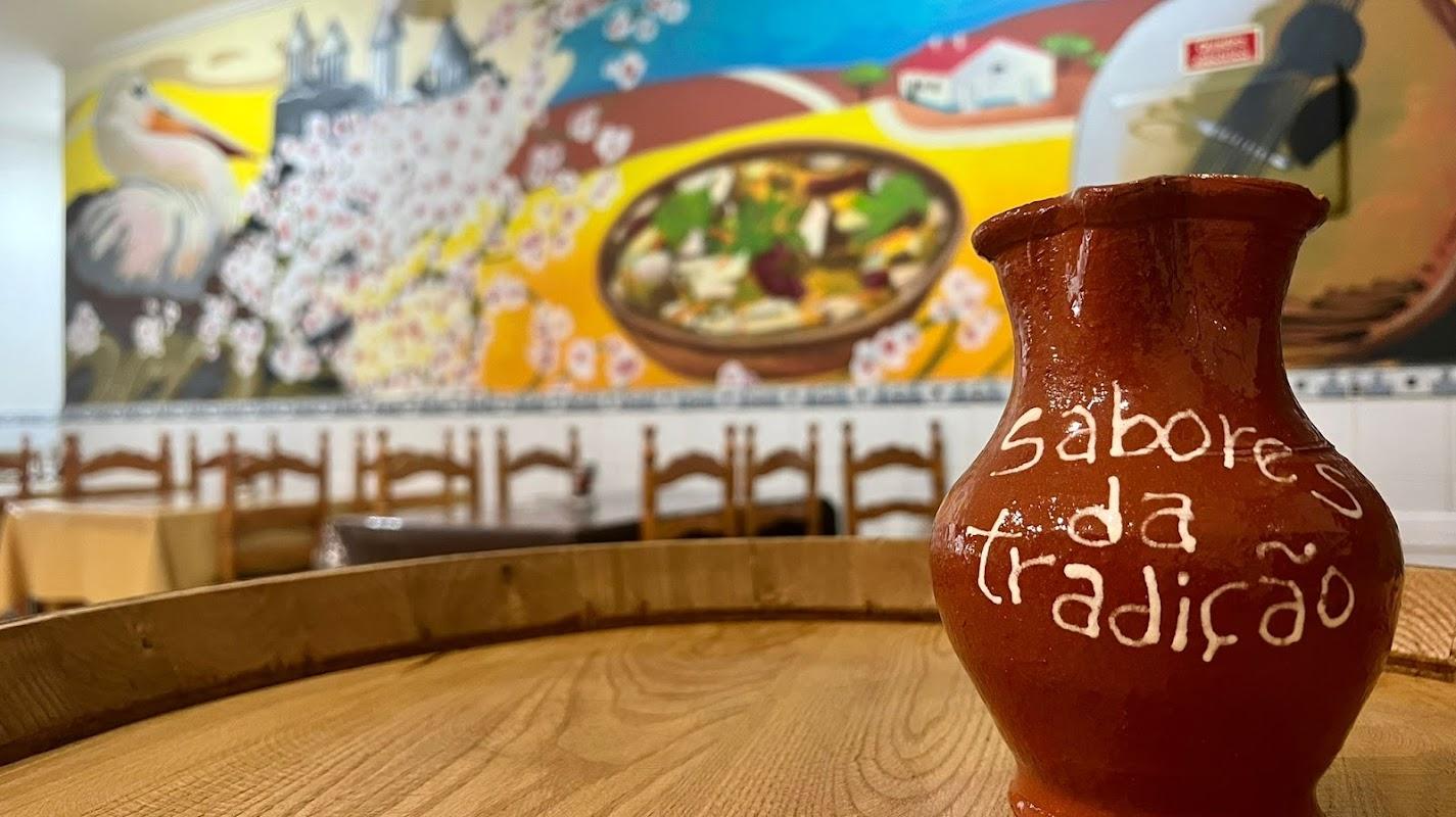
Top restaurants in the area
Reviews
Discover more hidden treasures
More options near Loule
Ameixial
A mountain village in the Serra do Caldeirão, at the northern edge of the municipality of Loulé, bordering Alentejo (Almodôvar). The landscape is dominated by cork oaks, rockroses, gorse, and strawberry trees. The village is located on the historic National Road 2 (EN2), one of the longest roads in Europe, connecting Chaves to Faro. It features megalithic monuments such as the Pedra do Alagar and the Anta do Beringel. The Via Algarviana passes through the area, and the Connection 6 of the Via Algarviana starts at the village entrance.
Loule
Barranco do Velho
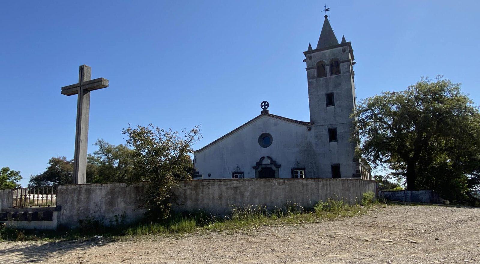
A small mountain village in the Serra do Caldeirão, near the border with Alentejo. Known for its century-old tradition of cork industry, with a landscape dominated by cork oaks, holm oaks, and strawberry trees. A rustic church built in 1944 on top of the hill offers panoramic views. The village is famous for its high-quality aguardente made from strawberry trees. Popular among cyclists — the climb from Barranco do Velho (3.1 km, category 4) is part of the Algarve Tour. The PR17 LLE trail (5.5 km, about 2 hours) traverses cork oak forests. It is the endpoint of Sector 5 and the beginning of Sector 6 of the Via Algarviana.
Loule
Besteiros
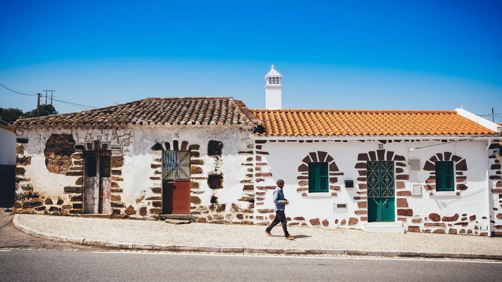
A small settlement in the parish of Ameixial, part of the network of routes in the interior of the Serra do Caldeirão. Surrounded by cork oaks, it is one of several traditional villages (along with Vermelhos, Revezes, Corte João Marques, and Corte de Ouro) that dot this sparsely populated mountainous landscape. Residents maintain goat and sheep herding, cork production, and the making of aguardente from strawberry trees. A database of micro-gems from the interior.
Loule
Catraia
A small locality in the Salir area, associated with 'Fonte da Catraia', a waypoint on the Via Algarviana. It is located in the transition zone between the barrocal and the mountains, in a landscape of limestone and schist with cork oaks and holm oaks. It is not a 'tourist attraction' in the classic sense — it is a hidden and curable fragment of the Algarve that has withstood the test of time. Rural villages that have changed little over decades, surrounded by dryland agriculture and Mediterranean scrub.
Loule